
File:Singapore location map (main island).svg

Size of this PNG preview of this SVG file: 800 × 508 pixels. Other resolutions: 320 × 203 pixels | 640 × 406 pixels | 1,024 × 650 pixels | 1,280 × 812 pixels | 2,560 × 1,625 pixels | 3,247 × 2,061 pixels.
Original file (SVG file, nominally 3,247 × 2,061 pixels, file size: 309 KB)
| This is a file from the Wikimedia Commons. The description on its description page there is shown below.
|
.svg)
Summary
| Description |
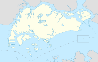
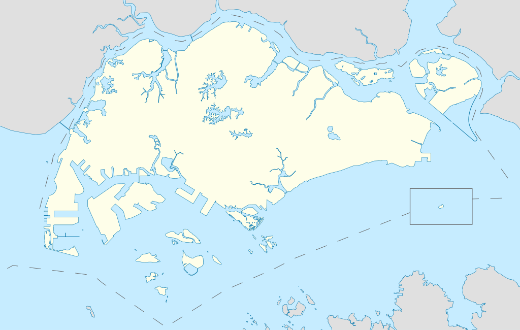
English: Locator Map for Singapore's main island, with Pedra Branca as an insert |
| Date | |
| Source | Own work |
| Author | Seloloving |
Licensing
I, the copyright holder of this work, hereby publish it under the following license:
This file is licensed under the Creative Commons Attribution-Share Alike 4.0 International license.
- You are free:
- to share – to copy, distribute and transmit the work
- to remix – to adapt the work
- Under the following conditions:
- attribution – You must give appropriate credit, provide a link to the license, and indicate if changes were made. You may do so in any reasonable manner, but not in any way that suggests the licensor endorses you or your use.
- share alike – If you remix, transform, or build upon the material, you must distribute your contributions under the same or compatible license as the original.
File history
Click on a date/time to view the file as it appeared at that time.
| Date/Time | Thumbnail | Dimensions | User | Comment | |
|---|---|---|---|---|---|
| current | 11:16, 14 June 2020 | | 3,247 × 2,061 (309 KB) | Seloloving | added maritime borders |
| 09:36, 13 June 2020 |  | 3,247 × 2,061 (310 KB) | Seloloving | full extent of singapore and claimed waters | |
| 18:36, 10 June 2020 |  | 2,959 × 1,949 (224 KB) | Seloloving | Uploaded own work with UploadWizard |
File usage
There are no pages that use this file.
.svg)